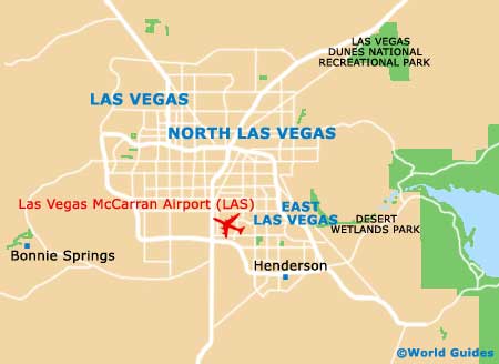
Las Vegas McCarran International Airport (LAS)
Orientation and Maps
(Las Vegas, Nevada (NV), USA)
The bright lights and casinos of Las Vegas are famous all over the world and attract millions of tourists each year. Located in the arid state of Nevada, Las Vegas is much more than glitzy casino hotels and wedding chapels when you look beneath the surface. Surprisingly, the downtown district features a number of well-preserved buildings, together with some of the world's biggest hotels and shopping complexes.
Close to the Las Vegas Strip, McCarran Airport (LAS) lies directly south of the city center and is the city's number one airport. Nearby and to the northwest, the North Las Vegas Airport (VGT) is a smaller complex and often known simply as 'Northtown'. The Greyhound bus station in Las Vegas is located along South Main Street and features a good selection of long-haul buses, traveling to destinations such as Los Angeles, San Diego and even San Francisco.
Las Vegas McCarran Airport (LAS) Maps: Important City Districts
The local bus network in Las Vegas is operated by the Citizens Area Transport service and regular buses connect most parts of the Strip and the downtown area. Further public transport includes a Strip Trolley, and free monorail trains that link several prominent casino complexes and the convention center.
Downtown Las Vegas is home to the historic city center and features a number of old buildings and hotels, lining Freemont Street and other main routes. Otherwise known as the Strip, the Las Vegas Boulevard is what most people associate with the city and is a major thoroughfare, running north to south. The glitz and glamour of the biggest and strangest hotel complexes can be found along the Strip, many of which recreate well-known cities from around the world, such as Paris and Venice.
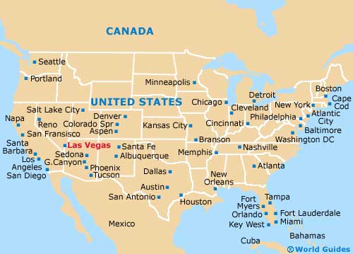
USA Map
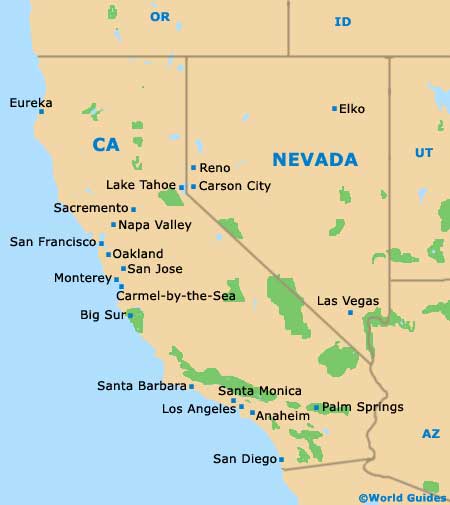
Nevada Map
Las Vegas Map